Stories
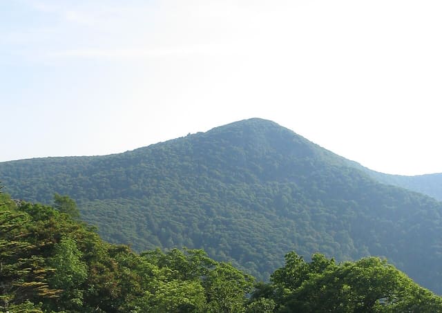
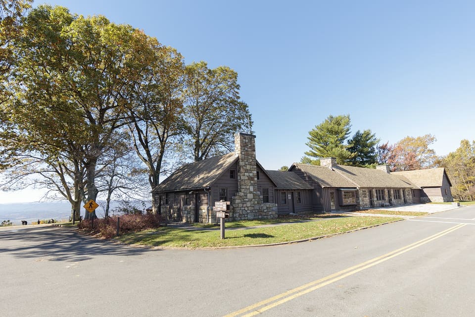
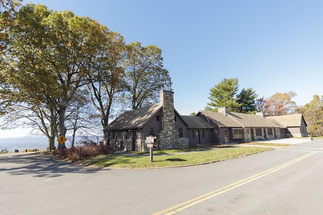
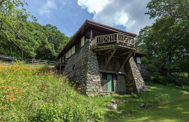
Dickey Ridge Visitor CenterPhoto: ShenandoahNPS (Public domain), via Wikimedia Commons
Driving tour · Shenandoah National Park

Skyline Drive Through Shenandoah

Mountain views and the people who shaped the park

2 h 37 min6 stops64 mi

Start the drive

Stop 1 is free, no sign-up. All 6 for $4.99, refunded within 7 days if it isn't for you.

See the 6 stops

The 6 stops

  1. 1Start hereFree

    Dickey Ridge Visitor Center

    The Park Congress Wouldn't Pay For

    Free sample · 2:34
    0:002:34

    You're at Dickey Ridge, mile 4.6 on Skyline Drive, in the northern part of Shenandoah National Park, just up the mountain from the Front Royal entrance. Look at the low stone building beside the road, then past it, at the trees. It looks like forest that has always been left alone. Hold that thought, because this park came with a strange condition attached.

    In May 1926, Congress and President Calvin Coolidge authorized a national park here in the Blue Ridge. There was one catch, and it's a remarkable one. The law prohibited the use of federal money to buy the land. Washington had, in effect, said yes to a park and then handed someone else the bill.

    In Virginia, a businessman named William E. Carson took on the job. He was the first chairman of the state's Commission on Conservation and Development, and his friend Harry F. Byrd, the governor, was involved in raising the money. Carson's first question was a plain one: who owns these mountains?

    The answer was not plain at all. A hillside you'd call wilderness from the road was, on paper, a patchwork of private holdings, and each piece had to be sorted out before a park could exist. Wilderness, it turns out, involves a great deal of paperwork.

    And here is the part the view hides. This ground was not empty. People had lived on it and worked it. The park came into being by changing who was allowed to stay. I can't give you one family's story from the facts I can vouch for here, and that gap is itself worth noticing. The tidy green you're looking at has left out the names of the people it replaced.

    The road came next. Planning for a sky-line drive dates to 1924, when the park was first planned, and groundbreaking took place in 1931. Skyline Drive was extended north to Front Royal in 1936, and the Civilian Conservation Corps played a large part in building it. So the road you drove up was made, too, by hand and by crew.

    When you stop at an overlook later, try this. Let the view be beautiful, and let it also be a decision. A law, a ban on federal money, and a state that had to deliver the land are all folded into that calm green. So are the people who were there first.

    Drive southwest, mostly on Skyline Drive, then US 340 and US 211, about 47 miles and an hour and a half, to Skyland, a resort on the same road that had its own stake in the park's story.
The whole drive

6 stories across Shenandoah National Park

2 h 37 min · 6 stops · 64 mi

Starts at Dickey Ridge Visitor Center and ends at Lewis Mountain.

  • Plays right here in your browser, or in the app
  • One purchase for your group, on up to 4 phones
  • Refunded within 7 days if it isn't for you

Plan your drive

    How long

    About 2 h 37 min for 64 mi with all 6 stories. Going inside the sites adds time.

    Start and finish

    Starts at Dickey Ridge Visitor Center and ends at Lewis Mountain.

    Add it to my calendar

    Know someone who'd love this drive? or see more gift ideas.

    Questions people ask

    Where does Skyline Drive begin and end?

    It runs 105 miles along the Blue Ridge through Shenandoah National Park, from Front Royal in the north to Rockfish Gap in the south. This tour covers 64 miles of it, from the Dickey Ridge Visitor Center to Lewis Mountain.

    How much does it cost to drive Skyline Drive?

    Skyline Drive is inside Shenandoah National Park, so you pay the park's entrance fee, a pass for your vehicle that's good for seven days, or show an America the Beautiful pass.

    How long does it take to drive Skyline Drive?

    The speed limit is 35 mph, so the full 105 miles takes about three hours without stops. This 64-mile tour takes about two and a half hours with the stories.

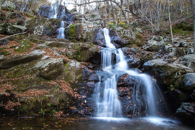
    How far is the walk to Dark Hollow Falls?

    About 1.4 miles there and back, and steep on the way up again. Allow an hour or more.

    Do I need the app?

    No. After you unlock, the tour plays right here in your browser: keep the screen on and tap each stop. The free Stories app adds GPS auto-play, so each story starts by itself when you arrive, with your phone in your pocket, and works offline.

    How many people can listen?

    One purchase covers your group on up to 4 phones. Share the link from your receipt, or everyone can sign in to the app with the same email.

    Does it work offline?

    In the app, yes: download the tour on Wi-Fi before you go. In the browser you need a signal, which is fine on most routes; open the tour once before you leave.

    When can I start?

    Any time. Start whenever you like and drive at your own pace; the stories wait for you.

    Can I give this tour as a gift?

    Yes. Tap "Give it as a gift", type their email and a note, and pick the day it arrives (Christmas morning works). They open it in their phone's browser; you get the receipt.

    Can I get a refund?

    Yes. If the tour did not work for you, email support@getstories.app within 7 days and we will refund it.

    Who made this tour?

    Stories writes each tour from public sources, checks every claim against them, and narrates it with a synthetic voice. The sources are listed at the end of this page; if you spot a mistake, tell us at support@getstories.app.

    About this tour and its sources

    You're at Dickey Ridge Visitor Center, at mile 4.6 of Skyline Drive, just up the mountain from Front Royal. Look west, past the parking lot, and the Shenandoah Valley opens out below you, all farms and river bends and blue ridges fading into more blue ridges.

    That view is the reason this road exists. It's also only half the story.

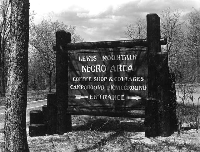
    Shenandoah National Park was established in 1935, and almost everything you'll pass today was shaped by decisions about who this mountain was for. Young men in the Civilian Conservation Corps built the stone walls and overlooks. Hundreds of mountain families who already lived here were moved off the land to make room for a park. President Herbert Hoover built a camp beside a trout stream in these mountains. And when Black visitors arrived, the park sent them to a separate place. So the question for the drive is simple: whose mountain is this, and who paid for the view?

    The road runs 105 miles, and the speed limit is 35. Yes, 35. It was built for looking, not for getting anywhere.

    The first story starts right here, with a park Congress wouldn't pay for. In 1926 it authorized a national park in the Blue Ridge, but the law barred federal money from buying the land.

    Written from public sources, every claim checked against them, narrated by a synthetic voice. Last checked October 2026.

    Share this drive