Free previewStop 3 of Skyline Drive Through Shenandoah
A Northern Island at 4,050 Feet
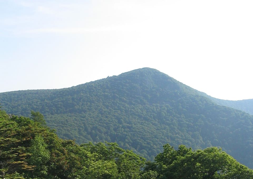
If you're parked, look up at the wooded slope rising above you, and let your eyes climb to the highest line of trees. That ridgeline is Hawksbill Mountain. Its summit sits at 4,050 feet, higher than anything else in Shenandoah National Park. It's also the highest ground in both Madison and Page Counties, and the county line runs right across the top.
Here's the surprising thing about that summit. In some ways it doesn't belong in Virginia at all.
Up there, among the rocks, grow balsam fir trees. Balsam fir is a tree of northern New England and southeastern Canada. Here it survives in only a few places in the park, and Hawksbill is one of them. Picture the dark, pointed shape of a Christmas-card evergreen against the sky, then notice that most of the forest below it looks nothing like that.
The usual explanation is the Ice Age.
That's the opening. The rest plays at stop 3 of Skyline Drive Through Shenandoah (3 min in all). Unlock the tour to hear it all, or try stop 1 free first.